Section 1: Exploring Earth’s Surface
 Topography is the arrangement of a particular region’s natural and artificial physical features. In other words, it is the shape of the land. Words like flat, sloping, hilly, or mountainous might all describe the topography of a particular area. Topographic maps include an area’s elevation, relief, and landform. The topography of a specific area is often characterized by its elevation, which refers to the height at a point on Earth’s surface above sea level. The relief is the difference in elevation between the highest and lowest parts of an area. A landform is a topography feature, such as a hill or a valley, formed by the processes that shape the Earth’s surface. A landform region is a large area of land where the topography consists primarily of one type of landform, such as uplands, lowlands, or a basin.
Landforms are the basic features of the Earth, and they vary significantly in shape and size. There are three main types of landforms. First, the plains are landforms made of nearly flat or gently rolling land with low relief. A coastal plain is a plain that lies along a seacoast with low elevation and low relief. Finally, an interior plain is a plain that lies away from a coast with low relief and elevation that varies.
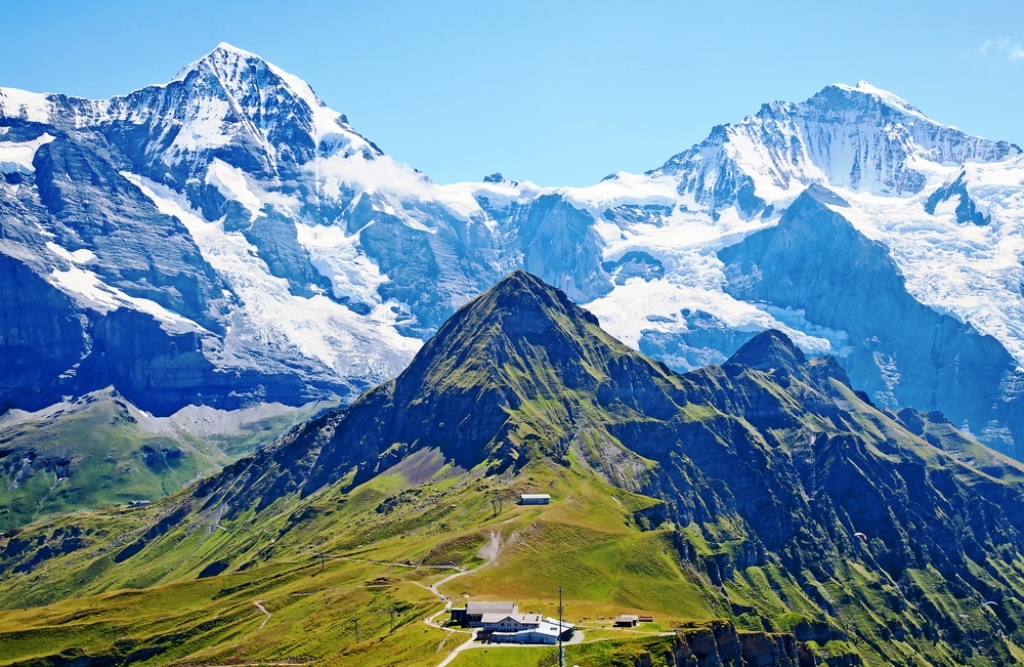
A mountain is a landform with a high elevation and high relief, and it usually occurs as part of a mountain range. A mountain range is a group of closely related mountains in shape, structure, and age. A mountain system includes the different mountains in a region. For example, the Bitterroot Mountains are a mountain range in the Rocky Mountains. A mountain belt is a larger unit of mountain ranges and mountain systems in a long, connected chain. Finally, plateaus are landforms with a high elevation and a more or less level surface.
Review:
- What does a topographic map show?
- Explain the difference between a coastal plain and an interior plain.
- Compare mountains to plateaus.